Welcome to Mourne Mountains

Start at Bloody Bridge car park
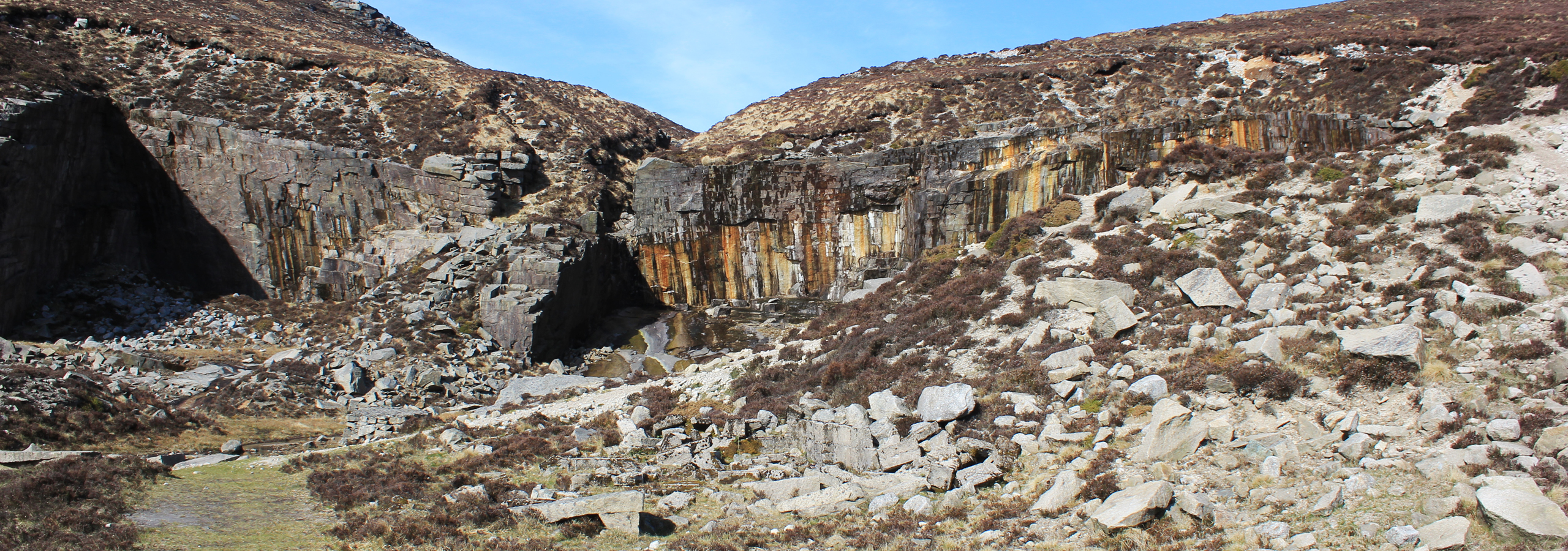
Walk up to Crannoge Quarry
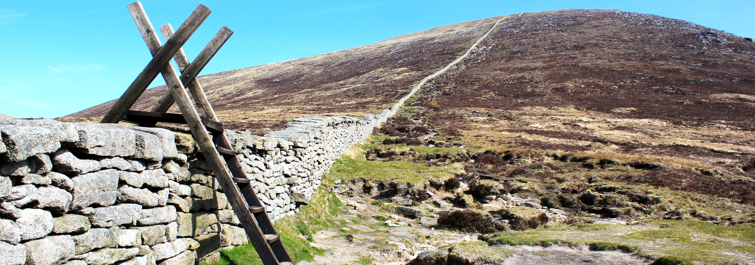
Climb over Mourne Wall at Bog of Slieve Donard
Let's support Mourne Mountain Rescue Team!
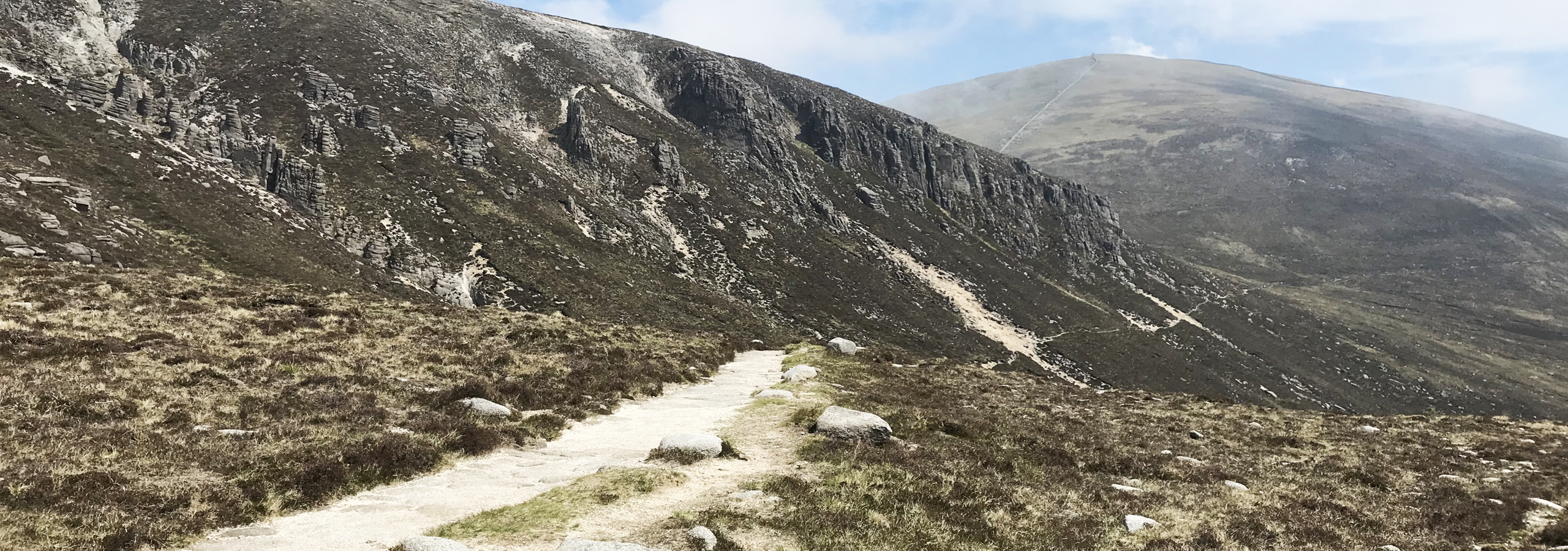
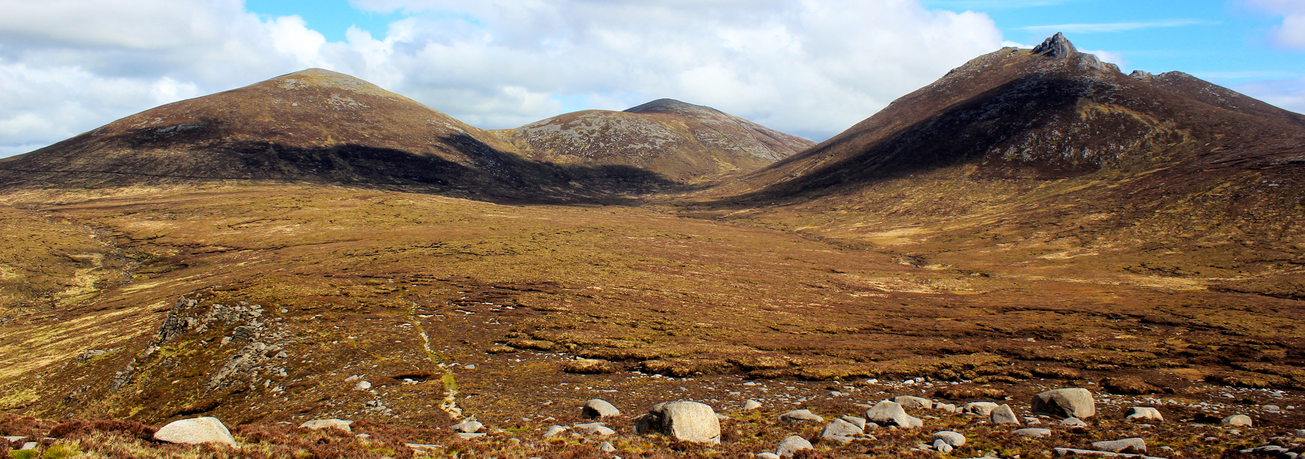
Walk under the Castles
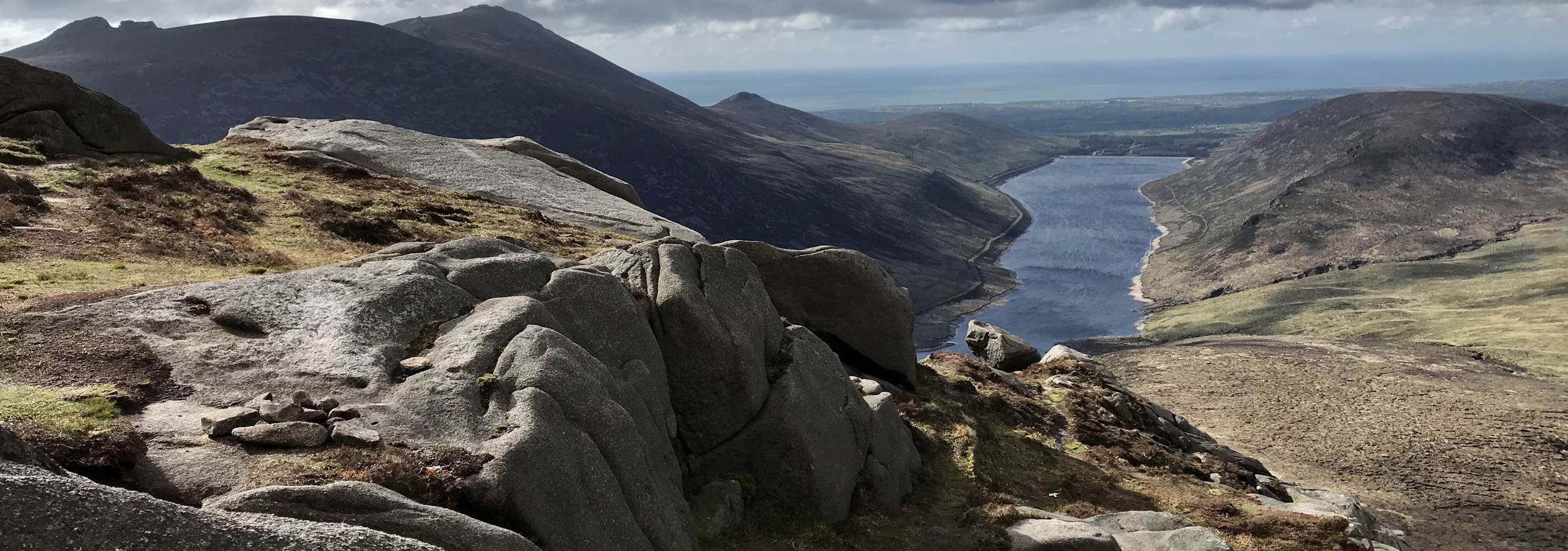
Enjoy Ben Crom Reservoir view
